|
| *****SWAAG_ID***** | 672 |
| Date Entered | 10/01/2013 |
| Updated on | 10/01/2013 |
| Recorded by | Tim Laurie |
| Category | Burial Mounds and Cairns |
| Record Type | Archaeology |
| Site Description | |
| Site Access | Public Footpath |
| Record Date | 01/01/2012 |
| Location | River Tees, North Bank, 1km upstream from Whorlton. |
| Civil Parish | Not known |
| Brit. National Grid | NZ 0968 1472 |
| Altitude | 125 |
| Geology | River terrace. |
| Record Name | Teesdale. Round barrow on north bank of the River Tees 1km upstream from Whorlton. |
| Record Description | Round barrow,located on rising ground with good views across and down the River Tees, visible as a turf covered mound 22m diameter and 1.5m high. Undisturbed except for small erosion patches which have revealed a river cobble core to the mound. See photos. Not included in the current list of barrows for the area, as Young, R. 1980. An Inventory of Barrows in Co. Durham. Trans. Arch. and Archaeol. Soc. of Durham and Northumberland.1-16.
This is the fourth site record of a total of 12 similar round barrows located close to the Tees. |
| Dimensions | 22m diameter and 1.5m high approximately |
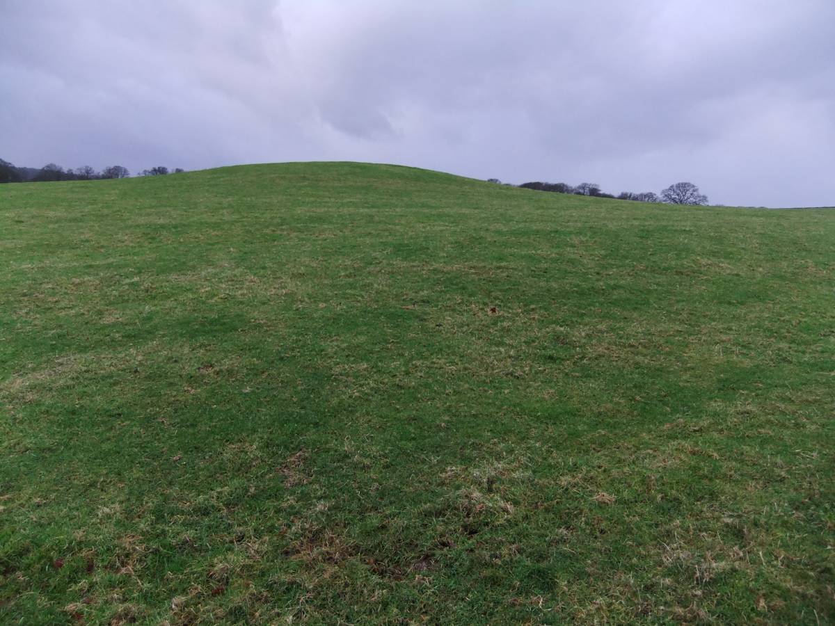
| Image 1 ID | 3931 Click image to enlarge |
| Image 1 Description | Round barrow on north bank of the River Tees. 1km upstream from Whorlton. | 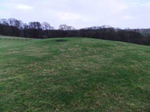 |
| Image 2 ID | 3933 Click image to enlarge |
| Image 2 Description | | 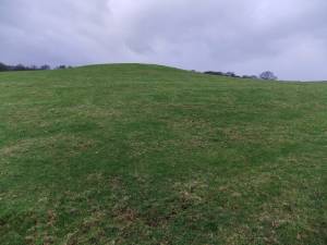 |
| Image 3 ID | 3934 Click image to enlarge |
| Image 3 Description | | 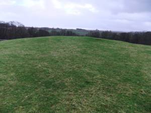 |
| Image 4 ID | 3932 Click image to enlarge |
| Image 4 Description | Small erosion patch with river cobbles. | 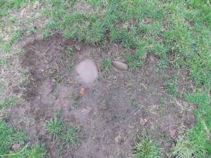 |